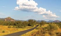
Coonabarabran - Warrumbungle - Tooraweenah drive
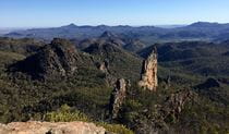
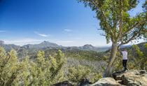
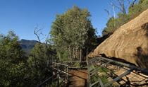
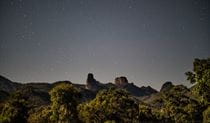
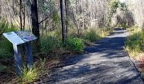
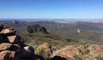
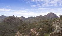
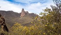
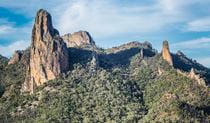
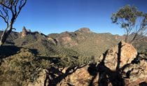
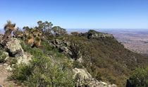
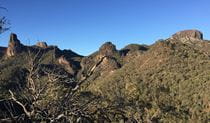
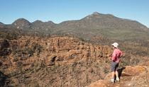
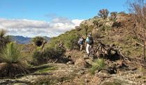
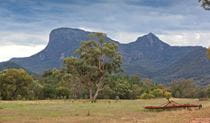
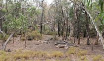
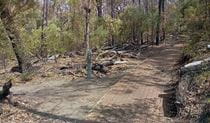
Warrumbungle National Park
What's nearby
Nearby driving routes
-
Coonabarabran - Baradine - Warrumbungle drive
Explore the spectacular landscapes, historic towns, picnic spots and walks of the Warrumbungles and Pilliga, near Coonabarabran and Baradine, in NSW.
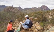
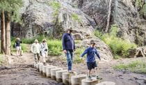
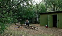
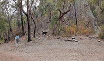
Nearby things to do


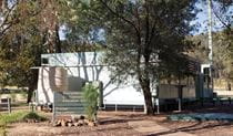


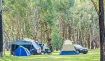
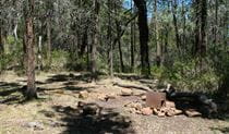
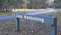
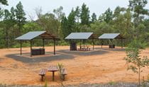
Nearby camping and accommodation
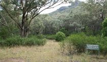

Nearby parks


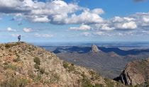
Google Street View Trekker
Using Google Street View Trekker, we've captured imagery across a range of NSW national parks and attractions. Get a bird's eye view of these incredible landscapes before setting off on your own adventure.


Park info
- in Warrumbungle National Park in the Country NSW region
Warrumbungle National Park is always open but may have to close at times due to poor weather or fire danger.
-
Park entry fees:
$8 per vehicle per day.
Buy annual pass
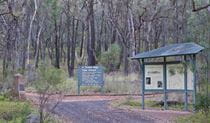
Visitor centre
-
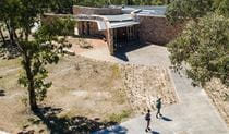
Warrumbungle Visitor Centre
4261 John Renshaw Parkway, Warrumbungle NSW 2828 - 9am to 4pm daily. Closed Christmas Day.
- 02 6825 4364