Tomaree Head Summit walk
Tomaree National Park
Overview
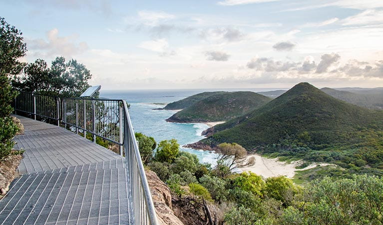
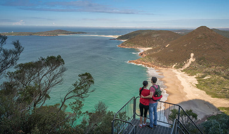
Tomaree Head Summit walk offers a short but challenging hike and picturesque ocean views across Port Stephens and beyond. It's a must-see destination if you're in the area.
- Where
- Tomaree National Park in North Coast
- Distance
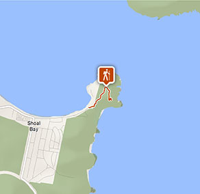
- 2.2km return
- Time suggested
- 1hr 30min - 2hrs
- Grade
- Grade 5
- What to
bring - Hat, sunscreen, drinking water, sturdy shoes
- Please note
- Take care along the steep sections on this walk because paved areas can become slippery when wet.
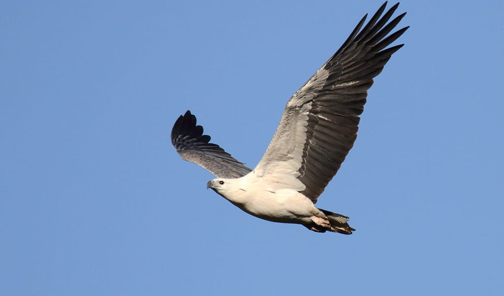
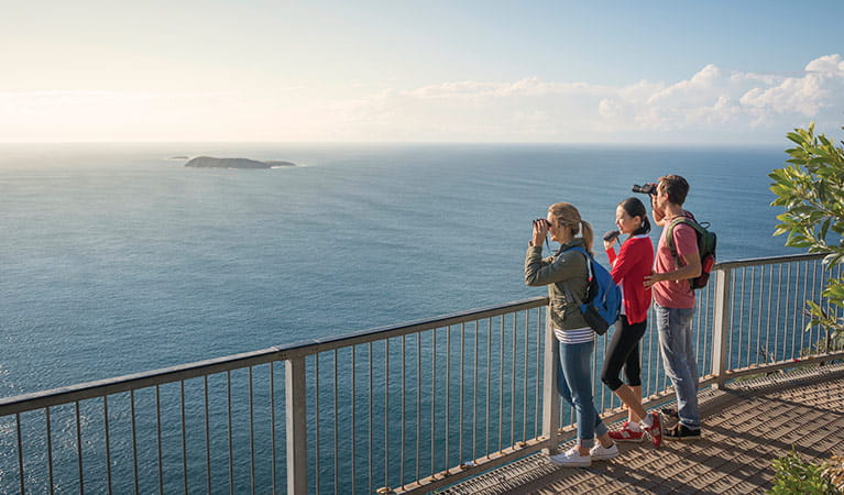
- Remember to take your binoculars if you want to whale watch – the best time of year is between May and November.
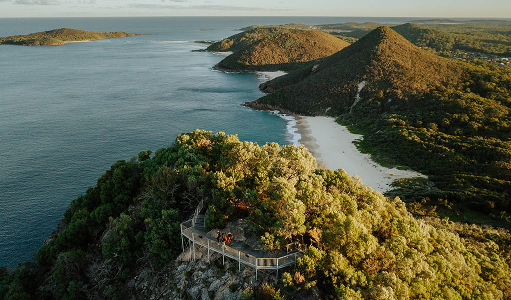
Take the invigorating short walk to the summit of Tomaree Head, 161m above the Port Stephens entrance. As you hike the track, you’ll enjoy unparalleled views of idyllic Port Stephens and its coastline. From the top, you can even see as far as Cabbage Tree and Boondelbah islands – these nature reserves are the world’s only nesting sites for the endangered Gould's petrel.
When you reach the summit, enjoy panoramic views of Yacaaba Head, Cabbage Tree, Boondelbah and Broughton Islands from the north platform.
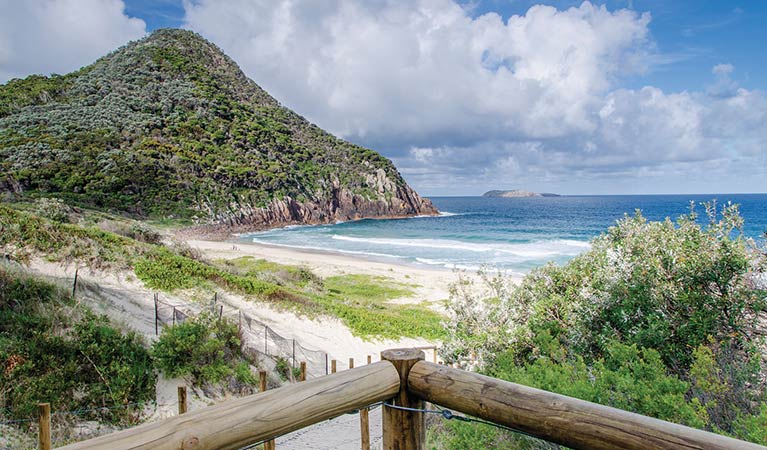
From the south platform, views of Zenith, Wreck and Box Beaches, Fingal Island and Point Stephens Lighthouse will be sure to impress. If you're hiking Tomaree Coastal Walk or Shoal Bay to Fingal Bay walking track the views to the south will be of interest so you can map out the landscape ahead to your destination.
There’s a picnic table at the lookout, so if you have time, take a picnic lunch or some morning tea to enjoy as you take in the view.
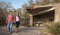
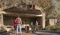
On the way back down, don’t forget to try Fort Tomaree walk and check out the historic World War II gun emplacements.
Take a virtual tour of Tomaree Head Summit walk captured with Google Street View Trekker.
Also see
Google Street View Trekker
Using Google Street View Trekker, we've captured imagery across a range of NSW national parks and attractions. Get a bird's eye view of these incredible landscapes before setting off on your own adventure.

Download our app
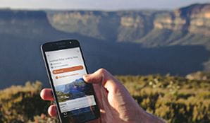
The free NSW National Parks app lets you download maps and explore parks, things to do and places to stay—all without mobile reception.
General enquiries
- National Parks Contact Centre
- 7am to 7pm daily
- 1300 072 757 (13000 PARKS) for the cost of a local call within Australia excluding mobiles
- parks.info@environment.nsw.gov.au
Operated by
- Anna Bay office
- Monday to Friday, 8.30am to 4.30pm.
- 02 4984 8200
- npws.huntercoast@environment.nsw.gov.au
- 4154 Nelson Bay Road, Anna Bay, NSW 2315
Park info
- in Tomaree National Park in the North Coast region
Tomaree National Park is always open but may have to close at times due to poor weather or fire danger.
What's nearby:
Things to do (32)
- 4WD touring (1)
- Aboriginal culture (4)
- Beach (7)
- Birdwatching and wildlife encounters (12)
- Cafes and kiosks (1)
- Canoeing/paddling (3)
- Cycling (1)
- Environmental appreciation/study (1)
- Fishing (2)
- Historic heritage (8)
- Picnics and barbecues (3)
- Sailing, boating and cruises (1)
- Sightseeing (11)
- Snorkelling and scuba (1)
- Surfing (6)
- Swimming (5)
- Walking (11)

