Federal Pass
Katoomba area in Blue Mountains National Park
Overview
Historic Federal Pass is a challenging walk in Blue Mountains National Park. Set out from either Leura or Katoomba and enjoy views of the Three Sisters, waterfalls and Scenic World.
- Distance
- 13km one-way
- Time suggested
- 6hrs 30min
- Grade
- Hard
- What to
bring - Hat, sunscreen, drinking water, topographic map, gps, compass
- Please note
For information regarding the price of Scenic Railway tickets, contact Scenic World.
If you like your scenic views from the ground up, you’ll love this magnificent walk through Jamison Valley.
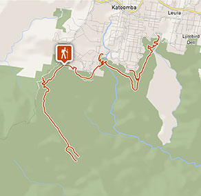
Originally built by the Katoomba community, from Leura Forest to Katoomba Falls, the track was extended on the old horse-drawn coal tramway line and now goes all the way to Ruined Castle, on the other side of Jamison Valley.
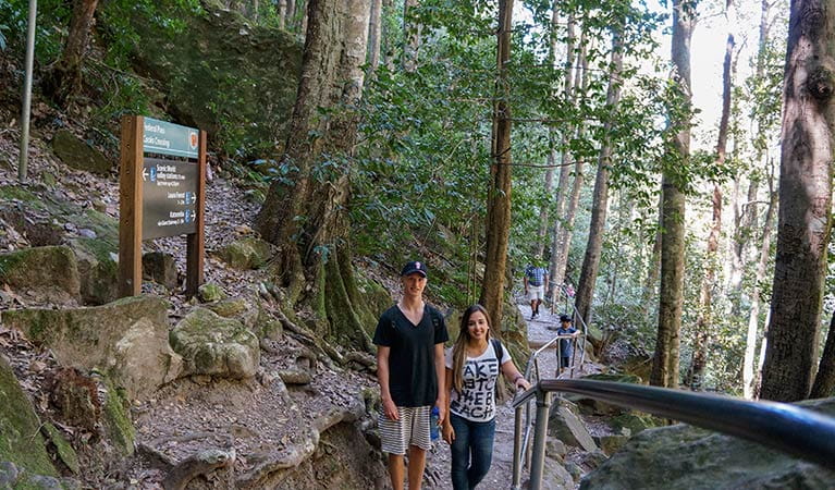
The track follows the base of the cliffs from Leura to Ruined Castle, passing forests, waterfalls and the iconic Three Sisters. You can join Federal Pass at four places and each junction involves a challenging climb down and back up the valley.
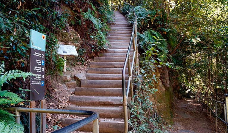
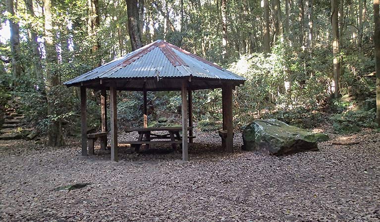
You can join this historic track by descending any of the stairways (Furber Steps or Golden Stairs) to marvel at the scenic views of the dramatic cliff line. You’ll pass through dense forests and cool clear waterfalls, with some great picnic spots along the way.
If you’re after a real heart-pumping finish, take the stairs back to the top, or cut it short and enjoy an exhilarating train ride to the top from Scenic World hopping off at Katoomba.
This historic track will take about 12 hours to complete if you choose to start in Leura at Fern Bower circuit, walk all the way to Ruined Castle, and return back the same way.
Take a virtual tour of Federal Pass captured with Google Street View Trekker
Also see
-

Giant Stairway
Giant Stairway is in the Katoomba area of Blue Mountains National Park, near Three Sisters walk. This popular walking track descends 998 stairs from Echo Point to Honeymoon Bridge—which connects to the first sister.
Google Street View Trekker
Using Google Street View Trekker, we've captured imagery across a range of NSW national parks and attractions. Get a bird's eye view of these incredible landscapes before setting off on your own adventure.

Conservation program:
Bush Trackers
Bush Trackers was created to encourage children to engage with the environment in and around the Greater Blue Mountains World Heritage area. This program highlights the natural and cultural splendour of the greater Blue Mountains through education initiatives and bushwalks.
General enquiries
- National Parks Contact Centre
- 7am to 7pm daily
- 1300 072 757 (13000 PARKS) for the cost of a local call within Australia excluding mobiles
- parks.info@environment.nsw.gov.au
Operated by
- Blue Mountains Heritage Centre and Blackheath office
- 9am to 4pm daily. Closed Christmas Day.
- 02 4787 8877
- bluemountains.heritagecentre@environment.nsw.gov.au
- 270 Govetts Leap Road, Blackheath NSW 2785
Park info
- in the Katoomba area of Blue Mountains National Park in the Sydney and surrounds region
Katoomba area is always open but some locations may close at times due to maintenance, poor weather or fire danger.
What's nearby:
Things to do (116)
- 4WD touring (2)
- Aboriginal culture (7)
- Adventure sports (12)
- Birdwatching and wildlife encounters (9)
- Cafes and kiosks (2)
- Cycling (8)
- Environmental appreciation/study (3)
- Historic heritage (9)
- Other experiences (6)
- Photography (3)
- Picnics and barbecues (8)
- Road trips and car/bus tours (3)
- Sightseeing (59)
- Swimming (2)
- Visitor centres (1)
- Walking (60)
- Waterfalls (39)
- Wildflowers (seasonal) (2)


